
Today, protecting our ecosystems is more urgent than ever. Climate change, deforestation, and biodiversity loss are real threats. Space technology offers a powerful solution: real-time satellite view of our planet. With remote sensing data, conservationists and governments can track changes, monitor vital ecosystems, and make smarter decisions to protect our natural resources, ensuring a more sustainable future for all.
Current Satellite Map
A map of the current satellite view offers real-time insight into the health of our planet. From tracking deforestation in rainforests to monitoring urban sprawl and detecting illegal mining, this tool allows us to see it all from space. By combining satellite imagery with on-the-ground data, environmentalists can identify high-risk areas and create focused strategies to protect fragile ecosystems, ensuring we can respond quickly and effectively to environmental threats.
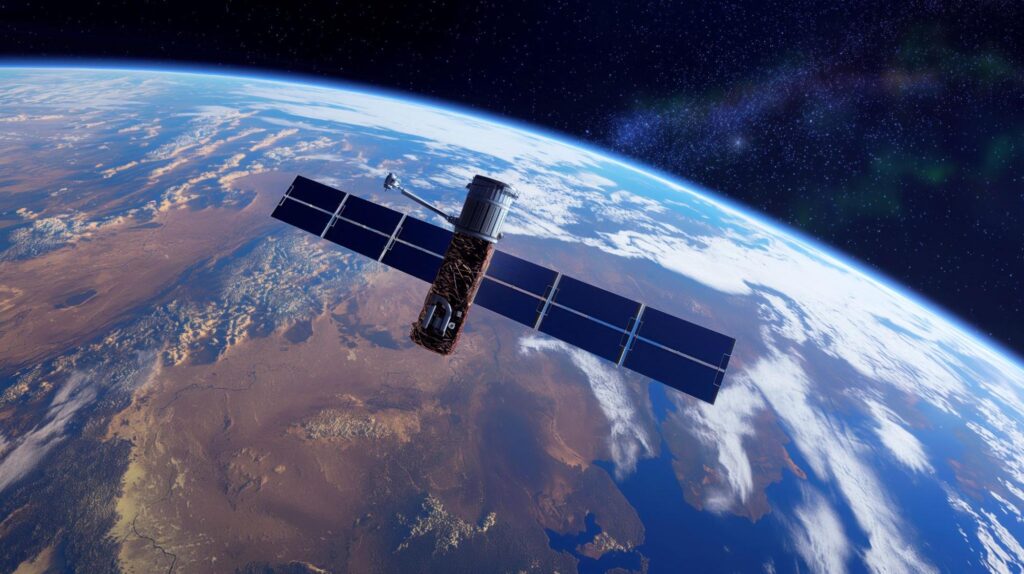
Satellite Technology: A Game Changer in Conservation
Space tech has transformed conservation, offering detailed current satellite imagery that helps protect our planet. From tracking wildlife migrations to studying coral reef health, satellites provide critical insights for eco-protection. Here are some key ways this technology is revolutionizing ecodefense and helping us better safeguard our natural world.
Real-Time Environmental Monitoring
Satellites offer real-time data crucial for tracking ecosystem changes, enabling rapid response to natural disasters like wildfires, floods, and hurricanes. This immediate insight helps emergency teams coordinate efforts and direct resources to where they’re most needed. Satellites also help spot illegal activities, like logging or poaching, by observing changes in protected areas.
Global warming is a severe danger, and studies indicate that nearly half of all species on Earth might go extinct by the end of this century. Coral reefs, for example, are rapidly declining due to rising sea levels and ocean acidification. Satellite technology allows researchers to monitor these ecosystems, analyze pollution, and determine conservation needs. It also helps them track endangered species and even discover new ones, becoming an essential tool for biodiversity protection.
Mapping Deforestation and Land Degradation
Deforestation is a critical ecological issue. Millions of acres of forest are lost annually to agriculture, logging, and urban growth. Satellite imagery offers a clear, live satellite view of deforestation patterns, helping ecologists track where and how fast forests are disappearing. This data is crucial for advocating stronger environmental policies and enforcing regulations to protect these vital ecosystems.
Remote sensing also allows you to observe forest health and its aspects, like canopy density, using vegetation indices. It helps detect early signs of disease, pests, or stress, allowing humans to take quick actions to preserve forest ecosystems and maintain their balance.
Monitoring Wildlife and Their Habitats
Space technology helps researchers track wildlife and observe their habitats. Using the most recent satellite images, they follow migration patterns of endangered species like elephants, whales, and birds, ensuring their ecosystems remain intact. This data helps establish protected migration corridors and identify potential threats along their routes.
High-resolution satellite imagery, combined with GPS and machine learning, allows scientists to monitor wildlife in remote areas, track behavior, and count species populations. This technology is crucial for managing wildlife, preventing poaching, and preserving endangered species. By observing vast areas over time, researchers can better understand habitat changes and predict areas that need protection.
Climate Change Tracking
Satellites are a perfect tool for monitoring climate change, as they can track greenhouse gases like CO2, methane, and water vapor. They also observe the effects of the climate crisis, for example, rising global temperatures, shifting weather patterns, sea-level rise, and melting glaciers and polar ice. Satellites help track natural disasters like cyclones, floods, wildfires, droughts, wildlife migration changes, and ecosystem shifts.
Japan’s Ibuki satellite, launched in 2009, was the first designed specifically for greenhouse gas monitoring. With 56,000 observation points worldwide, it provides a comprehensive view of global gas concentrations. Satellites also play a key role in tracking deforestation, a significant contributor to greenhouse gas emissions. Global remote sensing data helps ecologists identify deforestation trends and supports efforts like the UN-REDD program to combat forest loss.
Access to satellite data varies, with some organizations offering free access, while others limit it for security reasons. Open access to this data is crucial for effective climate monitoring and research.
Combining Satellite Data with Ground-Level Insights
Satellites give a wide view of environmental changes, and adding ground-level observations makes it easier to understand ecosystem health.
Field researchers, conservationists, and citizen scientists contribute valuable local knowledge that supports remote sensing imagery.
For example, a satellite view of the Earth can show where deforestation happens, and local teams can find out why, such as illegal logging or farming. This teamwork improves the efforts, helping to focus on areas that need urgent protection.
The Future of Satellite Technology in Conservation
As space technology advances, its role in planet protection will become even more powerful. Higher-resolution satellites, AI-driven data analysis, and improved tools will provide deeper insights into ecosystem health, making conservation efforts more precise. Broad access to satellite data will allow governments, NGOs, and individuals to monitor local environments and create interactive maps to raise awareness and drive public participation.
Chief Researcher at WWF, Jon Hoekstra, warns of risks, such as poachers misusing GPS to target endangered species, making data security essential:
“…In the hands of poachers, location-tracking devices could prove devastating to the endangered animals they hunt. Yet on balance, technological innovation gives new hope for averting the planet’s environmental collapse and reversing its accelerating rates of habitat loss, animal extinction, and climate change.”
Infrastructure challenges also limit satellite use in remote areas, but affordable satellite connections and solar energy can help. Despite these hurdles, satellite technology’s falling cost and growing potential will revolutionize conservation, offering more efficient and innovative solutions for protecting our planet.